

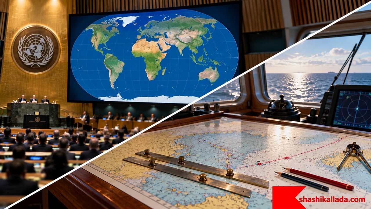
On 4 September 2026, the United Nations General Assembly adopted a non-binding resolution, “Correct the Map,” encouraging wider use of the Equal Earth projection in place of the Mercator projection for general-purpose world maps. The vote passed 164 to 1, with six abstentions. The resolution was sponsored by Togo and the Bahamas and backed by African Union member states.
The resolution targets classroom atlases, institutional wall maps and general reference maps. It does not target nautical charts, and the Togolese government said so explicitly in its own statement announcing the vote. Mercator’s role in navigation rests on a property that has nothing to do with the one at issue in the UN vote, and that distinction is worth setting out before anything else.
Much of the news coverage focused on the comparison between Africa and Greenland: on a Mercator world map, Greenland can look comparable in size to Africa, although Africa is roughly 14 times larger. For a school atlas, an institutional wall map, or a thematic map intended to compare the size of regions, that distortion matters. It does not follow that a projection criticised for world maps is also unsuitable for navigation. Those are separate questions, answered by separate properties of the projection.
There is no flat map of the Earth that preserves everything. A projection has to choose what to preserve and what to distort. There is no single answer to “which projection is accurate,” only an answer to “accurate for what purpose,” and the two get mixed together constantly in this debate.
Every Flat Map Is a Compromise
The Earth is curved; a chart is flat. Converting one into the other introduces distortion, and the International Hydrographic Organization (IHO) notes that a projection may distort distance, angles or shapes depending on the particular requirement of the chart or map in question.
Cartographers choose different projections for different jobs. An equal-area projection is useful when relative area matters. A conformal projection is useful when local angles matter. A gnomonic projection is useful when the shortest path on the globe — a great circle — needs to appear as a straight line. No single projection preserves all of these properties at once.
What Mercator Gets Wrong — and What It Gets Right
Gerardus Mercator introduced his projection in 1569. Its central weakness, and the one now at the centre of the UN debate, is that scale increases with latitude: land masses at high latitudes are enlarged, sometimes dramatically. For comparing areas, that is a serious defect. Equal Earth was designed as an equal-area projection, so the relative area of countries and continents is represented correctly, which makes it a stronger choice for educational, statistical and general-purpose world maps.
Mercator preserves a different property: it is conformal, meaning local angles are preserved. That property is what made it valuable to navigation in the first place, and it has nothing to do with area.
Why Mariners Still Care About Straight Rhumb Lines
On a Mercator chart, a rhumb line — or loxodrome — plots as a straight line. A rhumb line crosses successive meridians at a constant angle, which in practical terms represents a constant course.
The IHO’s C-51 manual explains why Mercator is used for most nautical charts: rhumb lines are portrayed as straight lines. NOAA’s Office of Coast Survey gives the same practical explanation — a straight line drawn on a Mercator chart is a line of constant course, which makes the direction to steer straightforward to determine from the chart’s meridians.
Mercator and Equal Earth simply preserve different relationships: Mercator preserves the one useful to a navigator holding a course, Equal Earth the one useful for comparing area.
A Route Also Decides the Climate the Cargo Passes Through
A course plotted for a shortest great-circle passage, or a straight rhumb line on the chart, also fixes which climatic zones a cargo transport unit (CTU) will cross; for dangerous goods, that can matter as much as the course made good.
The IMO/ILO/UNECE Code of Practice for Packing of Cargo Transport Units (CTU Code, MSC.1/Circ.1497) addresses this directly. Chapter 5, “General transport conditions,” describes the acceleration forces and the climatic conditions — temperature and humidity — to which a CTU is exposed during transport, and Annex 3 gives specific guidance on preventing condensation damage. Condensation is defined there as the conversion of water vapour into a liquid state, beginning when air is cooled to its dew point in contact with a colder surface — a routine event when a container loaded in a humid low-latitude port is carried into a cooler climatic zone, or the reverse.
IMDG Code Chapter 7.3 (packing and use of cargo transport units) draws on these same general transport conditions, and one special provision makes the route/climate link explicit rather than incidental:
- Polymerizing substances — Special Provision 386. SP386 requires that chemical stabilization keep a substance from dangerous polymerization at a bulk mean temperature of 50°C in a packaging or IBC, or 45°C in a portable tank. Where stabilization becomes ineffective at lower temperatures within the anticipated duration of transport, temperature control is required instead. The provision names “the ambient temperature conditions typically encountered in the journey (considering also the season of year)” as one of the factors deciding which regime applies, alongside voyage duration, packaging geometry, insulation and the stabilizer’s effectiveness. SP386 is assigned to a long list of UN numbers across several classes; full detail at shashikallada.com’s SP386 breakdown.
- Self-reactive substances and organic peroxides. A related but separate regime assigns these a Self-Accelerating Decomposition Temperature (SADT) under IMDG 7.3.7, 2.4.2.3.2.3, 2.5.3.2.4, 4.1.4 (IBC520) and 4.2.5.2.6 (T23). These must stay within their control and emergency temperatures for the whole passage. A routing decision that carries the shipment through a warmer climatic band, or a reefer plant that can’t hold set point in that band, can put the consignment outside its approved range independent of anything shown on the chart.
- Condensation and self-heating. The CTU Code’s informative material (MSC.1/Circ.1498) flags hygroscopic and self-heating cargoes — oil seeds, oil seed expellers and fish meal among them — as prone to releasing moisture during temperature swings, in some cases progressing to spontaneous combustion.
None of this changes which projection belongs on the bridge. It does mean a voyage plan chosen for the shortest or most convenient course is worth checking against the climatic conditions and the season the cargo will actually transit, not only the distance run.
| Requirement | Mercator | Equal Earth |
|---|---|---|
| Relative area | Distorted, especially at high latitudes | Preserved |
| Local angles | Preserved | Not conformal |
| Rhumb line on the map | Straight | Generally curved |
| General-purpose world map | Often a poor choice when area comparison matters | Well suited |
| Traditional nautical navigation | Very useful | Not a practical replacement for Mercator |
Mercator Remains the Default for ADMIRALTY Charts
For conventional nautical charting, Mercator remains the predominant projection, including across the ADMIRALTY charting range. The UK Hydrographic Office (UKHO) publishes products for different navigational purposes: the ADMIRALTY reference and plotting range includes Mercator plotting sheets, ocean plotting sheets using Mercator and stereographic projections, and gnomonic charts used for great-circle route planning.
The IHO’s C-51 manual (A Manual on Technical Aspects of UNCLOS) and the Admiralty Mariner’s Handbook (NP100) both describe Mercator as a conformal projection used for nautical charts, for the same underlying reason: a rhumb line appears on it as a straight line.
Rhumb Line and Great Circle Are Not the Same Thing
A straight line on a Mercator chart represents a rhumb line, and a rhumb line is generally not the shortest route between two points on the Earth. For a long ocean passage, the shortest route follows a great circle, which is normally curved on a Mercator chart and appears as a straight line on a gnomonic chart.
Gnomonic charts have long served ocean passage planning for this reason: the navigator develops the great-circle route on the gnomonic chart, then transfers suitable waypoints or courses to a Mercator chart for the rest of the passage. UKHO still lists gnomonic charts and plotting sheets for this purpose. Each projection is chosen for the property the task needs, not because one outranks the other.
Projection Is Not Datum
Projection and datum are frequently confused, and they describe different things. The projection describes how the curved surface of the Earth is represented on a flat chart. The horizontal datum is the geodetic reference framework to which positions are related. A chart can be drawn on a Mercator projection while its positions are referred to WGS 84 — two separate parts of the chart’s geospatial framework.
Electronic Charts Separate the Data From the Display
Modern ships increasingly navigate using Electronic Chart Display and Information Systems (ECDIS), which raises the question of whether the Mercator discussion still applies. It does, though the digital picture separates two things that used to be fused together on paper.
An Electronic Navigational Chart (ENC) is a structured vector dataset, not a scanned image of a paper chart. Charted objects are encoded geographically — typically as latitude and longitude — and the ECDIS uses that data to generate the display the navigator sees. The underlying ENC data and the projection used to portray it on screen are related but distinct.
ECDIS Displays Are Usually Mercator, Not Always
NOAA states that ECDIS and many other systems displaying ENC data present it using a Mercator projection, and current IHO ECDIS test material likewise includes Mercator-based display of ENC data at high latitudes up to the stated test limit.
IHO guidance also recognises that a projection appropriate to the geographic location may be used, particularly in polar regions where Mercator becomes unsuitable. An ENC stores geographic data; projection is one part of how that data is portrayed to the mariner. That distinction matters more as navigation moves further into the S-100 era.
From S-57 to S-101
Today’s global ENC infrastructure is largely based on IHO S-57. The next generation, S-101, is built within the wider IHO S-100 framework. UKHO describes S-101 as the new ENC product specification that will replace S-57 and operate alongside other interoperable marine datasets: bathymetry, water levels and surface currents, handled as interoperable data layers rather than isolated chart products.
UKHO also notes that S-100-enabled ECDIS may be fitted from 2026, and that new ECDIS installations are expected to conform to the S-100 performance standard from 2029. S-57 does not vanish in 2026; the transition is staged, and S-100-enabled ECDIS will continue to display S-57 data alongside the new S-100 products in the interim.
The UN Resolution Does Not Touch Nautical Charts
Reuters reported that the resolution does not affect Mercator’s continued use in navigation, where its properties remain useful, and the Togolese government’s own statement said the campaign “in no way challenges the use of the Mercator projection for maritime and aerial navigation, for which it remains fully suited.”
A change to the projection used for nautical charts or ECDIS would run through the hydrographic and maritime standards system: the IHO, national hydrographic offices, ECDIS standards, and related IMO requirements — not through a UN resolution aimed at general-purpose world maps. The story here is not that mariners have been using the wrong map for four and a half centuries. It is that a projection designed around navigational needs became a default world map in places where those navigational properties were irrelevant to begin with.
Mercator Was Never Meant to Answer Every Question
“How large is Africa compared with Greenland?” is a question Mercator answers badly. “What constant course does this straight line represent?” is a question it answers well. “What is the shortest great-circle route across an ocean?” is better answered by a gnomonic projection, at least for the planning stage.
Cartographic accuracy is not one property. Area, angle, distance, direction and shape cannot all survive the flattening of a curved Earth onto paper or a screen at once, and no single resolution — UN or otherwise — changes that trade-off. The classroom atlas and the bridge of a ship are asking different questions, and cartographers have been giving them different answers since long before this month’s vote.
Discover more from IMDG Code Compliance Centre
Subscribe to get the latest posts sent to your email.

By Shashi Kallada
35 years in Merchant Shipping, Last 23 years working on IMDG Code. Ex Sailor, Ex Manager Global Dangerous Goods Maersk Line.